
The Cartographer's Patron
In 1569, Gerardus Mercator published a world map that would dominate navigation for the next four centuries. His projection made Greenland appear larger than Africa, stretched northern countries to impossible proportions, and positioned Europe at the visual center of the world. Mercator wasn't incompetent—he was serving his audience. European sailors needed a map that made navigation easier, and European princes needed a map that made their territories look important.
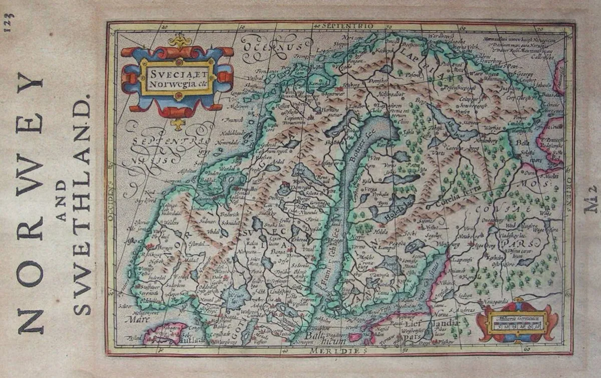 Photo: Gerardus Mercator, via www.rareoldprints.com
Every map ever created has served similar masters. From ancient Babylonian clay tablets to modern smartphone screens, cartographers have always drawn the world their patrons needed to see. The pretense of objectivity is itself part of the persuasion.
The Medieval Mind Map
Medieval European maps placed Jerusalem at the center of the world, with Europe, Asia, and Africa arranged in a circle around it. Modern viewers often interpret these as evidence of geographical ignorance, but medieval mapmakers knew better. They were creating theological documents, not navigation tools.
These "T-O maps" reflected a worldview where spiritual geography mattered more than physical accuracy. Paradise sat at the top (hence "orientation"—literally facing east), Jerusalem commanded the center, and the known world formed a perfect circle representing God's creation. The maps weren't wrong—they were answering different questions than modern cartography attempts to address.
The Hereford Mappa Mundi, created around 1300, includes detailed illustrations of biblical events alongside geographical features. It shows the route of the Exodus, the location of Noah's Ark, and the Tower of Babel. For medieval Christians, these weren't decorative additions—they were the most important information a map could convey.
The Age of Exploration's Marketing Materials
When European powers began funding oceanic expeditions, cartography became a tool of colonial marketing. The 1507 Waldseemüller map was the first to use the name "America," but it also depicted the new continent as a narrow strip of land with Asia clearly visible beyond it. This wasn't geographical error—it was promotional material designed to convince investors that reaching Asian markets would be simple and profitable.
Spanish and Portuguese maps of the 16th century consistently exaggerated the size and wealth of their colonial territories. Rivers were shown flowing with gold, cities appeared larger and more numerous than they actually were, and hostile indigenous populations were either omitted entirely or depicted as welcoming European arrival.
The famous Drake map of 1579 shows California as an island—not because English cartographers lacked information, but because depicting it as separate from the mainland supported English territorial claims against Spanish authority. Maps weren't just documenting discoveries; they were making legal and political arguments about who owned what.
The Railroad's Paper Empire
Nineteenth-century American railroad companies perfected the art of persuasive cartography. Their promotional maps showed the unsettled West as a garden paradise crossed by convenient rail lines, with established towns and agricultural communities that existed only in corporate imagination.
The Northern Pacific Railway's 1883 promotional map depicted Montana and North Dakota as temperate agricultural regions comparable to Pennsylvania, complete with illustrations of abundant crops and prosperous farms. The reality—harsh winters, unpredictable rainfall, and soil unsuited to eastern farming techniques—appeared nowhere in the railroad's cartographic marketing materials.
These maps weren't technically false, but they emphasized certain features while minimizing others. Rivers and lakes were prominently displayed; deserts and mountain ranges were rendered in pale colors that made them seem less significant. The visual hierarchy guided viewers toward optimistic conclusions about western settlement prospects.
The Cold War's Competing Realities
The ideological conflicts of the 20th century produced competing cartographic visions that revealed how maps could serve political narratives. Soviet maps consistently minimized the size of capitalist countries while exaggerating the extent of communist influence. American maps during the same period emphasized the geographic isolation of communist states and the global reach of democratic alliances.
The famous "Mercator vs. Peters" projection debate of the 1970s explicitly acknowledged cartography's political dimensions. Arno Peters argued that traditional Mercator projections perpetuated colonial thinking by making European and North American countries appear larger than they actually were relative to Africa, South America, and Asia. His alternative projection corrected these size distortions but created new visual hierarchies that served different political purposes.
The Digital Age's Invisible Editors
Modern digital mapping has made cartographic manipulation simultaneously more subtle and more pervasive. Google Maps shows different national boundaries to users in different countries—the version seen in India displays different Kashmir borders than the version shown to Pakistani users. These aren't technical glitches; they're deliberate editorial choices designed to avoid political conflicts in various markets.
Smartphone mapping apps routinely center their displays on the user's location, creating the illusion that each individual sits at the center of the world. But they also make less obvious choices about what to emphasize: chain restaurants appear more prominently than local establishments, paid advertisers receive visual priority over organic results, and corporate offices are often marked more clearly than community centers or public facilities.
The algorithms that generate these maps incorporate biases that their creators may not even recognize. Areas with higher property values receive more detailed street information; neighborhoods with more smartphone users get more frequent updates; regions that generate more advertising revenue appear more prominently in search results.
The Persistence of Patron-Driven Geography
What makes this pattern particularly durable is that maps must simplify reality to be useful. Every cartographer faces infinite choices about what to include, what to emphasize, and what to omit. These decisions inevitably reflect the mapmaker's priorities, resources, and intended audience.
The medieval monk who placed Jerusalem at the center of his map was making the same fundamental choice as the modern app developer who highlights paid advertisers: both decided that certain information mattered more than geographical accuracy. The difference isn't in their methods—it's in what their respective societies valued most highly.
The Unchanging Human Need
People have always needed to understand their place in a complex world, and maps have always provided that understanding in simplified, digestible form. But this psychological need makes map users vulnerable to manipulation by those who control cartographic production.
Every generation believes they've achieved objective geographical representation, just as every previous generation believed the same thing about their own maps. Medieval Christians were certain their theological cartography revealed ultimate truth. Enlightenment explorers were convinced their scientific methods eliminated bias. Modern users assume digital maps provide neutral, data-driven representations of reality.
The pattern persists because human psychology remains constant: we need maps that make sense of our world, and we trust the institutions that provide them. Those institutions, in turn, create maps that serve their interests while maintaining the illusion of objectivity.
The next time you open a mapping app or consult an atlas, remember: you're not seeing the world as it is. You're seeing the world as someone with specific interests and priorities needs you to see it. The most effective propaganda has always been the kind that doesn't announce itself as propaganda.