Where You Build the Courthouse, You Build the Century: The Infrastructure Wars That Shaped America
The Battle for Tomorrow's Main Street
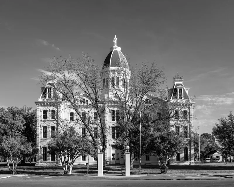
In 1885, the residents of Springer County, Nebraska, faced a choice that would determine which of their settlements would survive the next century. The county courthouse—a modest brick building that housed the sheriff, the records office, and the circuit judge—needed a permanent home. Three towns competed: Millerville, with its established grain elevator; Riverside, positioned along the proposed railroad route; and New Eden, whose founders had arrived with Eastern capital and ambitious plans.
 Photo: Springer County, Nebraska, via mapsius.com
The fight lasted two years. Citizens held rallies, newspapers published editorials, and delegations traveled to the state capital with petitions. When the dust settled, New Eden had won—and within a decade, it was the only town left standing. Millerville's grain elevator sat empty by 1895. Riverside never got its railroad.
This pattern repeated across thousands of American counties throughout the nineteenth century, but the stakes were always the same: whoever controlled the courthouse controlled the commercial future of the region. The building itself was never the prize—it was the gravitational pull that civic infrastructure creates, drawing businesses, residents, and eventually, prosperity.
The Roman Formula for Permanent Power
The Romans understood this principle two millennia before Nebraska existed. When they conquered new territory, their first priority wasn't building walls or barracks—it was establishing the forum. The forum combined courthouse, market, and administrative center into a single complex, creating an economic vortex that pulled trade routes, merchant settlements, and political power toward a predetermined point.
Roman engineers didn't choose forum locations randomly. They selected sites that controlled river crossings, mountain passes, or the intersection of existing trade routes. Once the forum was established, roads followed—not to serve the forum, but because the forum had already become the inevitable destination for anyone conducting serious business in the region.
The genius of Roman infrastructure planning was understanding that buildings create behavior. Put the courthouse where you want the town center to develop, and the town center will develop there. Put the market where you want merchants to gather, and merchants will gather there. Put the administrative offices where you want political power to concentrate, and political power will concentrate there.
The American Adaptation
American county seat wars represented a democratic adaptation of this ancient strategy. Instead of imperial engineers deciding where power would concentrate, local communities fought for the right to host the institutions that would shape their region's development. But the underlying principle remained unchanged: infrastructure placement was political destiny.
Consider the case of Sumner County, Kansas, where the courthouse location was decided by a literal midnight raid in 1872. Wellington residents, frustrated by years of political maneuvering, loaded the county records onto wagons and transported them from the existing courthouse in Oxford to a building they had prepared in Wellington. By morning, Wellington was the de facto county seat—and Oxford began its slow decline toward abandonment.
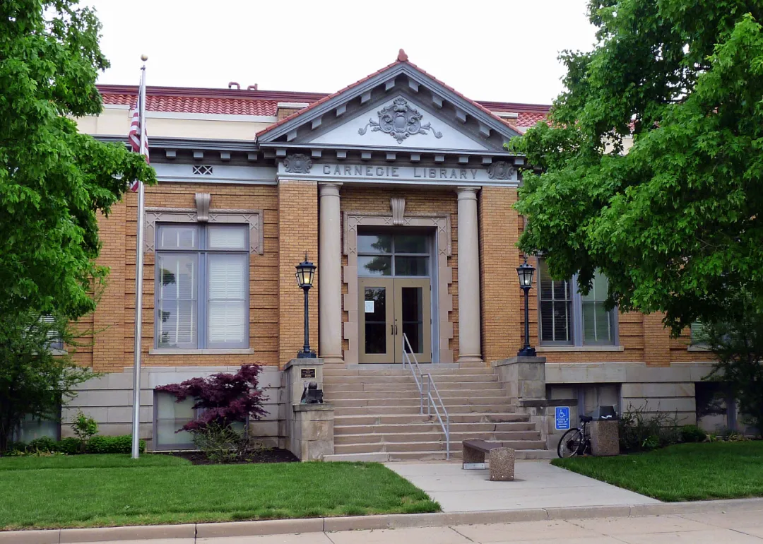 Photo: Sumner County, Kansas, via static.stacker.com
The midnight courthouse theft was not an act of civic vandalism but a sophisticated understanding of how institutional gravity works. The town with the records was the town where lawyers, land dealers, and tax collectors would conduct business. The town where business was conducted was the town where people would build hotels, banks, and general stores. The town with commercial infrastructure was the town that would attract railroad investment and telegraph lines.
The Highway Department's Quiet Revolution
Twentieth-century America witnessed the same dynamics at work, though the decisive infrastructure shifted from courthouses to highway interchanges. The Interstate Highway System, launched in 1956, was officially designed for national defense and economic efficiency. Unofficially, it was the largest infrastructure-based redistribution of regional power in American history.
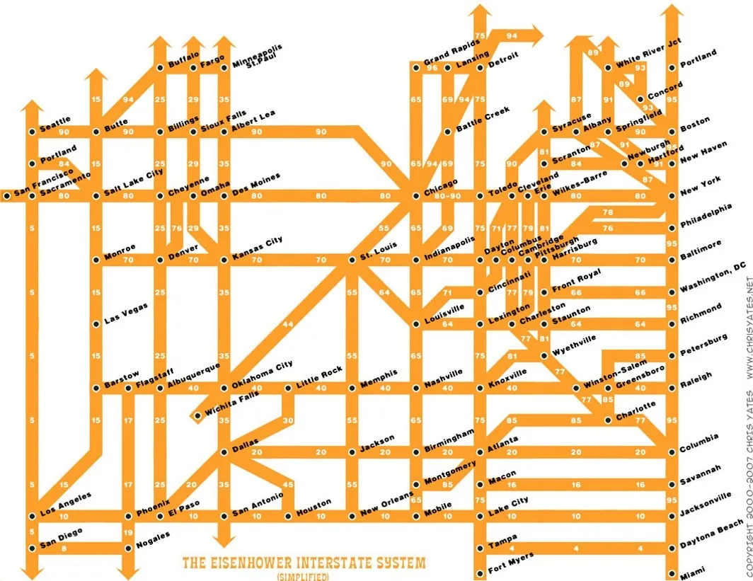 Photo: Interstate Highway System, via 64.media.tumblr.com
Towns that received direct interstate access—particularly those lucky enough to host the intersection of two major highways—found themselves positioned to capture commercial development that had previously been distributed across dozens of smaller communities. Towns bypassed by the interstate system discovered that proximity to major transportation infrastructure mattered more than local business acumen, community spirit, or historical significance.
The pattern was remarkably consistent across different regions and economic contexts. Highway planners, like Roman engineers, understood that roads don't just connect existing destinations—they create new destinations by making certain locations more accessible than others. The decision to route Interstate 80 through one Nebraska town rather than another was functionally equivalent to the decision to place a county courthouse in one settlement rather than its competitors.
The Digital Repetition
Contemporary debates about broadband infrastructure, data center locations, and 5G network deployment represent the latest iteration of this ancient pattern. Communities compete for technology infrastructure with the same intensity that nineteenth-century towns competed for railroad depots, understanding that digital accessibility has become the modern equivalent of courthouse placement.
The town with the fastest internet connection becomes the town where remote workers choose to live. The region with the most reliable cellular coverage becomes the region where logistics companies establish distribution centers. The area with the data center becomes the area that attracts technology companies seeking low-latency connections to their servers.
The Illusion of Neutral Placement
Modern infrastructure planning often presents itself as a technical exercise guided by objective criteria: traffic patterns, population density, geological suitability, construction costs. But the historical record suggests that truly neutral infrastructure placement is impossible. Every road, building, and utility line creates winners and losers by making some locations more valuable than others.
The Roman forum, the Nebraska courthouse, and the interstate highway interchange all functioned according to the same principle: in a world where convenience determines commercial success, whoever controls the placement of essential infrastructure controls the distribution of economic opportunity. There is no such thing as a neutral building location because there is no such thing as neutral access to the institutions that shape daily life.
The county seat wars ended more than a century ago, but their logic continues to operate in every zoning decision, every transportation budget, and every infrastructure investment. When we decide where to build, we decide who wins.